Best Spring Hikes For All Ability Levels
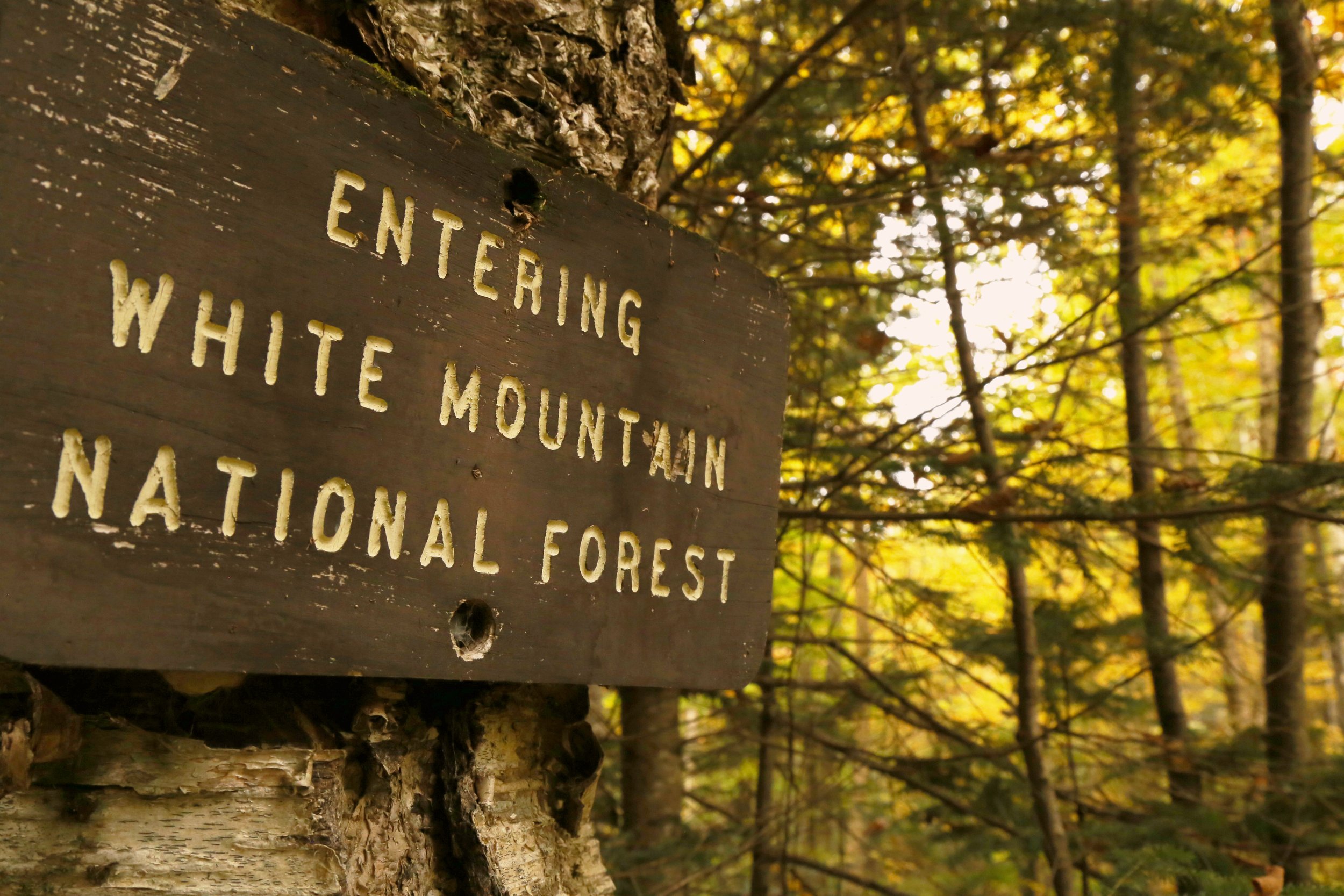
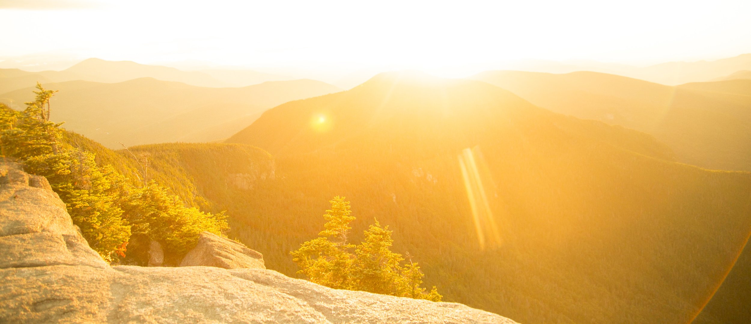
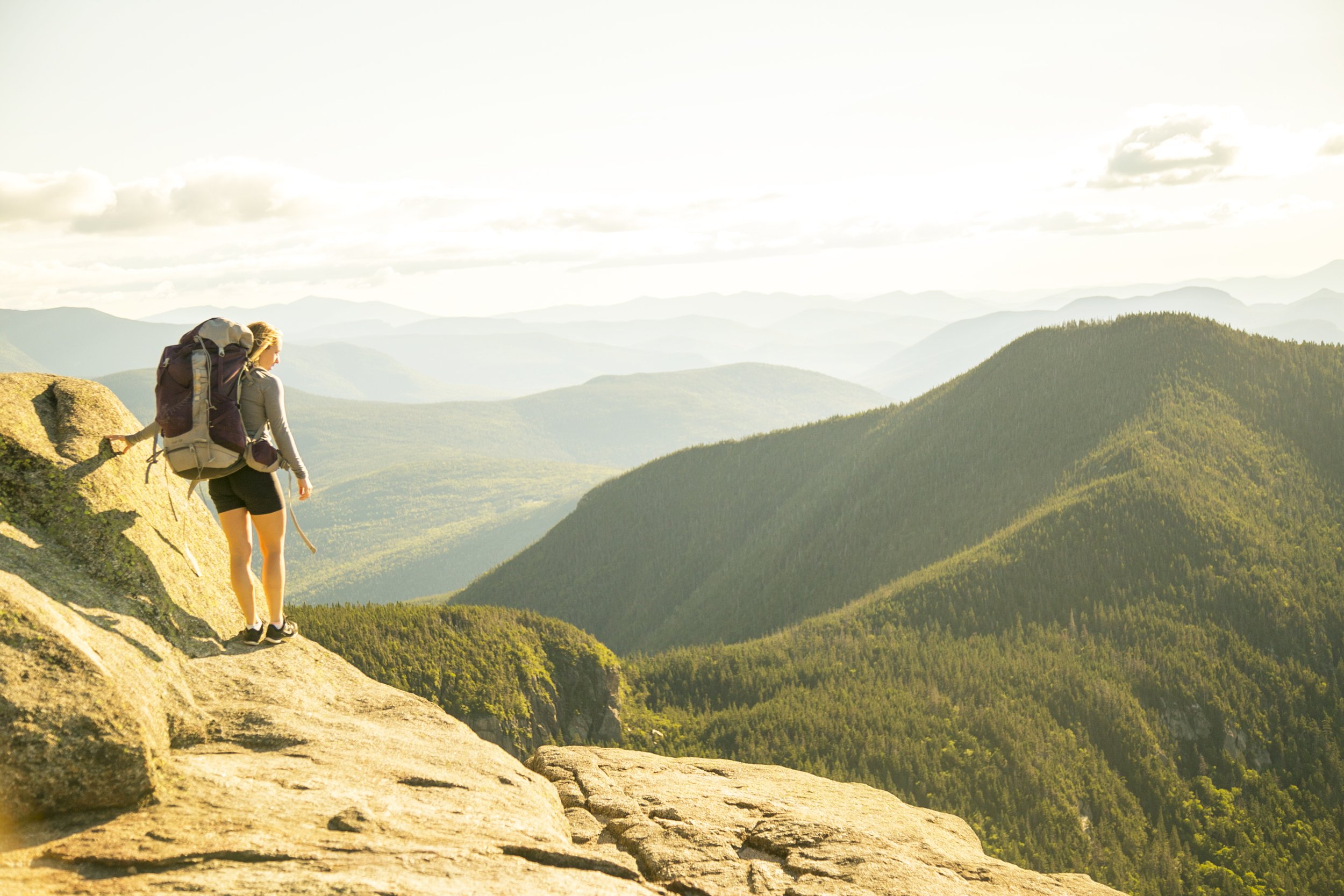
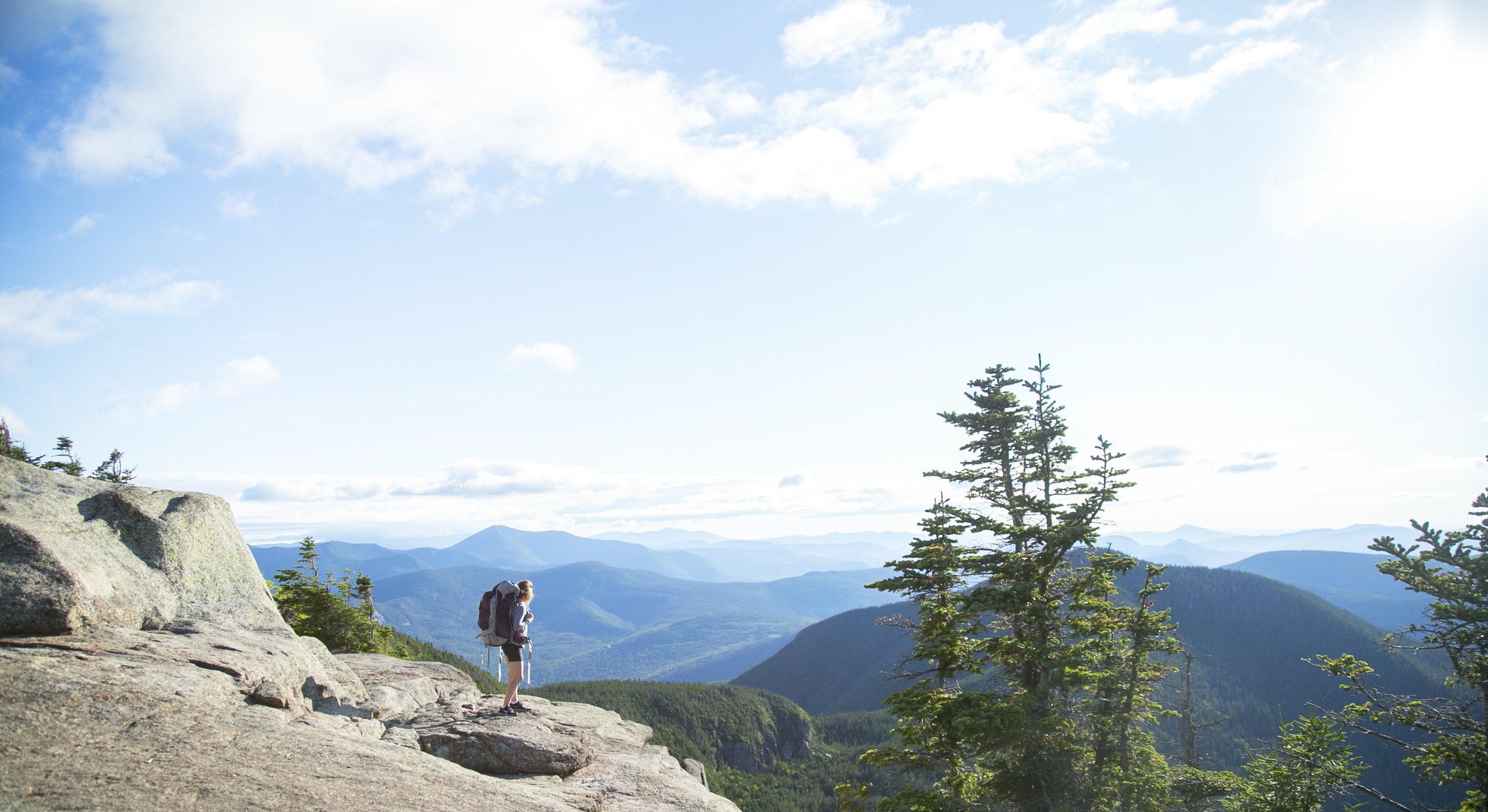
Springtime means the return of sunshine, wildlife, and hiking season. And given our abundance of hiking trails combined with stunning natural beauty, there's no better place to enjoy a spring hike than Waterville Valley! Many of Waterville's hiking trails ascend to high elevations, so there's a high possibility you will encounter some snow and ice within shaded areas of your hikes. This packed-down ice can be hazardous, especially with inadequate footwear. We recommend bringing along crampons or yak tracks if you're planning on spring hiking in Waterville Valley, in addition to following the National Forest Service Hiker Responsibility Code.
EASY HIKES

MODERATE HIKES
ADVANCED HIKES
EASY HIKES
MAD RiVER TRAIL
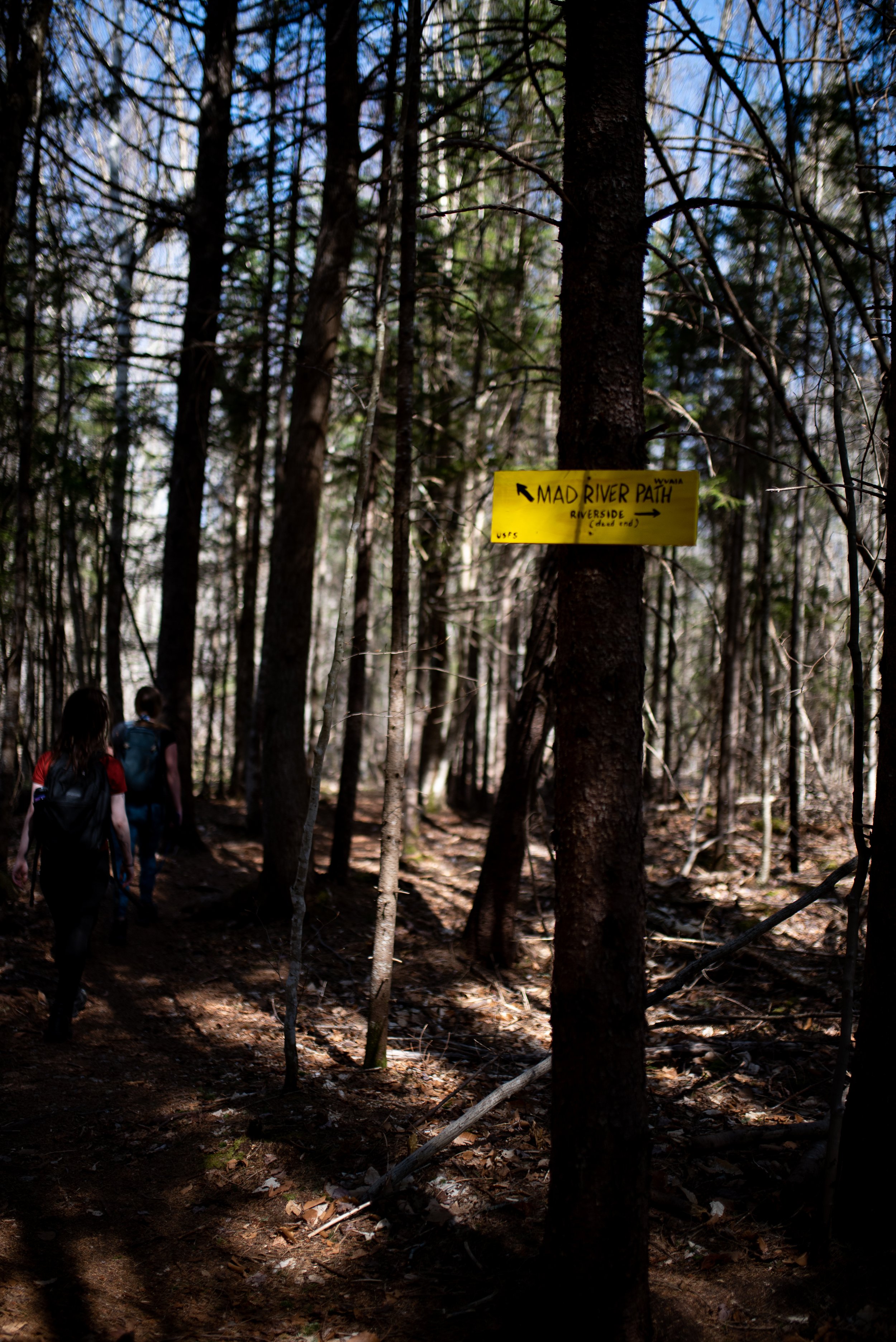
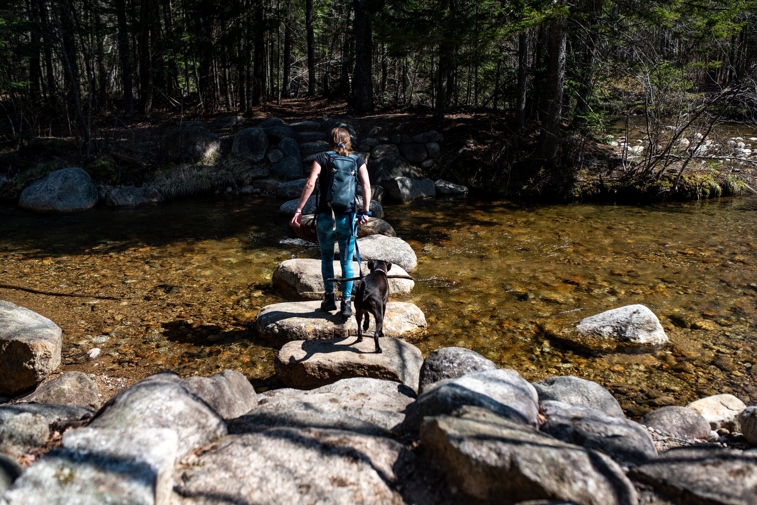
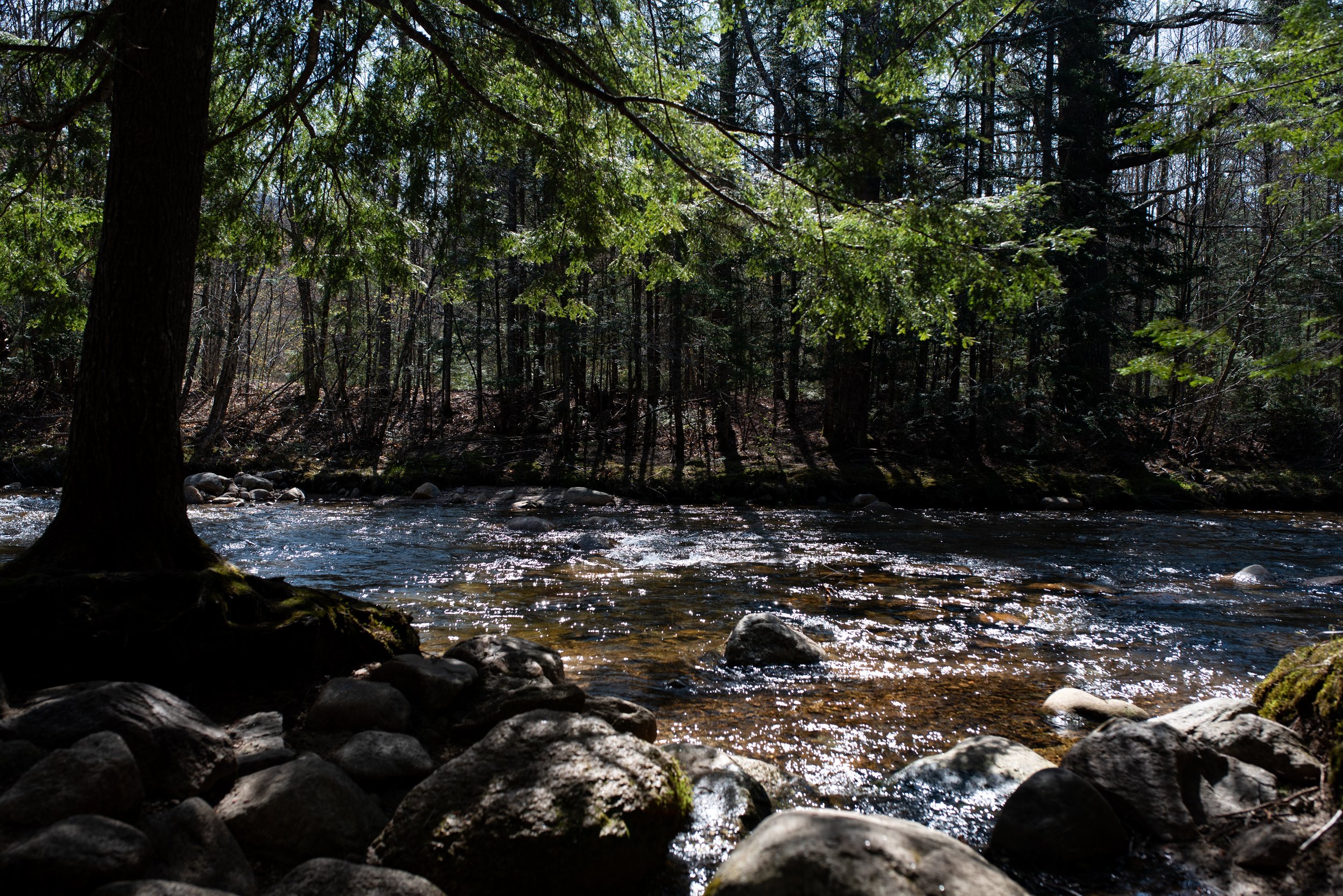
Mad River Trail is a beautiful, easy hike which is easily accessible from Town Square. This short, easy trail closely parallels the Mad River, with two stairways up to a high steep-sided river bank, offering interesting river views. It also features a footbridge made out of large stepping stones.
The trail begins off the Mad River cross-country ski trail. From Town Square, cross the dam and turn right on the Village X-C Ski Trail, follow the trail through the tunnel, and then turn right on a bridge over Snows Brook. Continue straight over a second bridge, this one over the Mad River.
To the right of where the ski trail rises up the hillside, the Mad River hiking trail heads into the woods. After a small bridge and a series of steep rock steps up to a plateau, the trail walks along the high and steep-sided glacial riverbank. It soon descends steeply on another long series of wooden steps, down to the river’s shore, crosses a rill without a bridge; and then, crosses over a small footbridge, and a larger footbridge at the confluence with the West Branch of the Mad River. The final section easily traces the river and ends at West Branch Road.
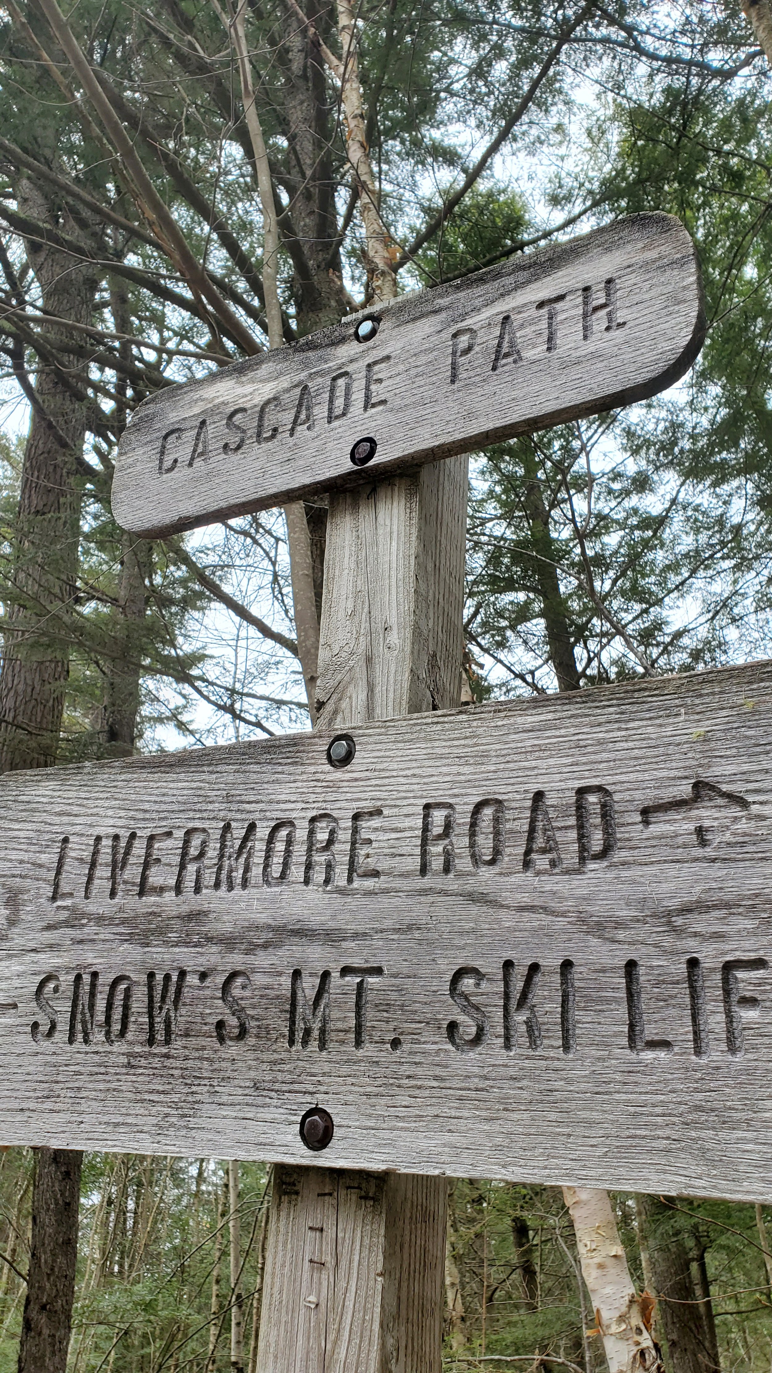
SNOW’S MOUNTAIN SKI TRAIL
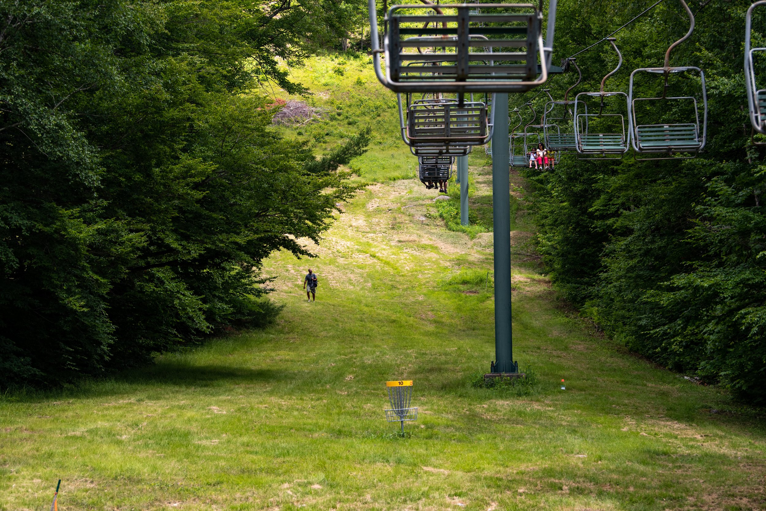
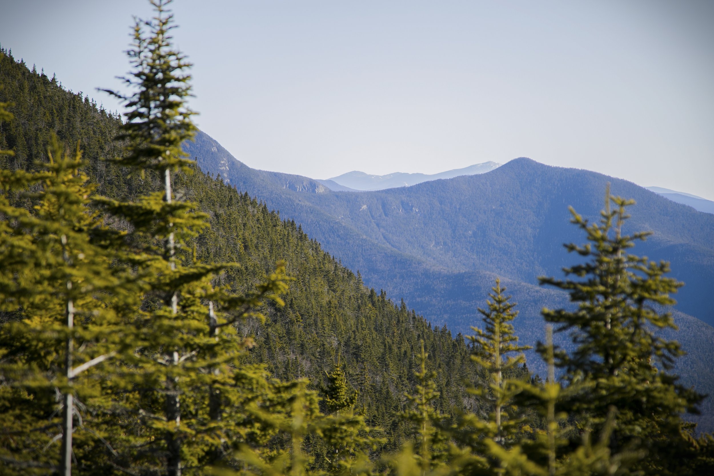
If you're looking for a quick but hearty hike, we recommend hiking up the old ski trails of Snow's Mountain. Begin the hike from Snow’s Mountain Parking Lot and head towards the red lift shack. You can hike directly up the ski slope following underneath the chairlift.
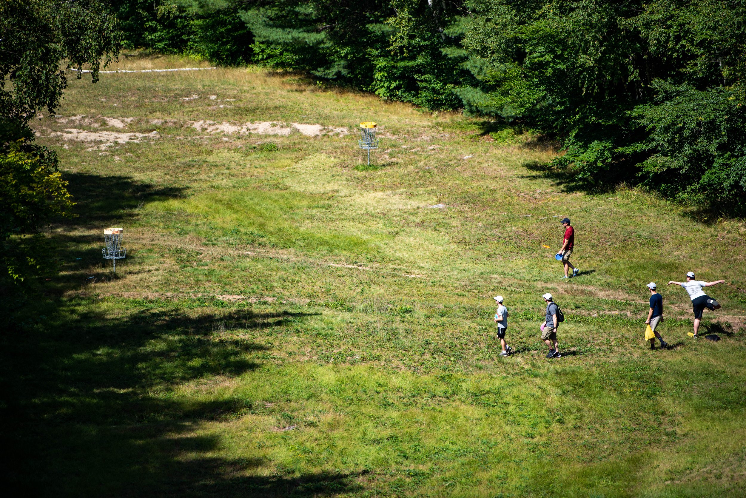
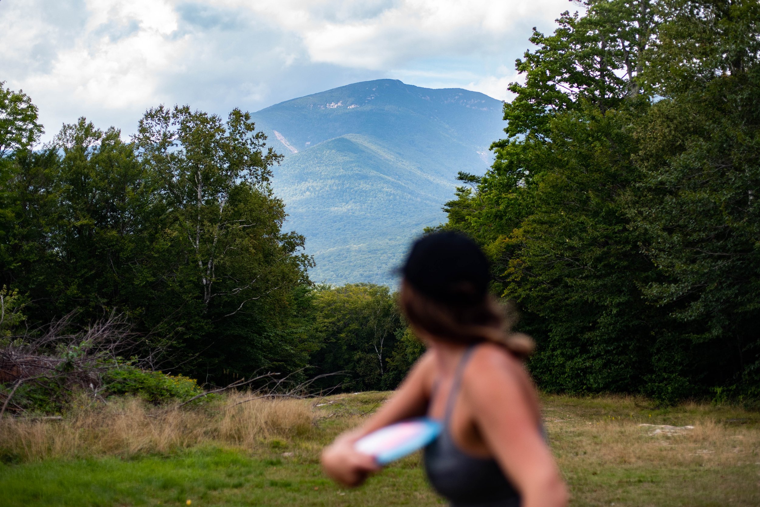
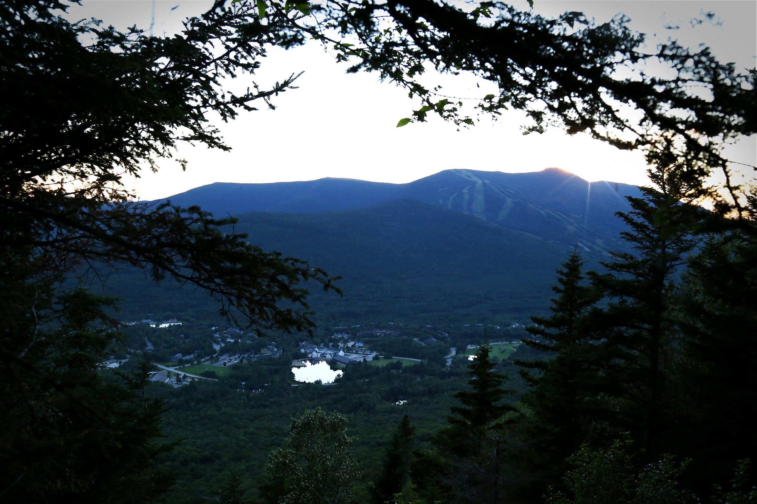
About two-thirds of the way up the mountain, you'll see a small path on your left leading through the woods. This path takes you to the northern ski trails. We recommend following these trails to the top of the chairlift, as they offer a milder pitch with less gnarly terrain. The top of the ski area offers stunning views of Mount Osceola and Mount Tecumseh, plus you can access the first hole of Snow's Mountain 18 Disc Golf Course. Bring some snacks and enjoy a scenic picnic or bring some discs and play a round of disc golf. Or simply bask in the beauty of the surrounding mountains.
MODERATE HIKES
SNOW’S MOUNTAIN TRAIL
Snow's Mountain Trail is a traditional National Forest hiking trail that can be challenging for less experienced hikers, especially given its variable footing and repeated ups-and-downs of the ridgeline. This hike offers two viewpoints with gorgeous views of the east and south Mad River Valley.
Begin from Snow's Mountain parking lot and begin hiking up the old ski trails, following underneath the chairlift, keeping towards the right side of the trail. About a third of the way up the ski trail, there will be a path on the right side of the trail, cutting through the woods. Follow the trail through coniferous woods and eventually into a mature hardwood forest. Pass the Greeley Ledges Trail on the left and continue as the trail wanders up the northern side of the mountain. Once the breezy ridge is attained, it levels off somewhat, and soon a short spur path for the upper outlook diverges left.
Continuing down the trail, the lower lookout is about five minutes away. From this point, the trail descends somewhat steeply at first but quickly joins a logging road grade that takes on down the other side of the ridge. As the hike nears its conclusion, the trail intersects an old logging road. Continue straight through the intersection. The lower section of the trail is in a hardwood forest that can be difficult to navigate, particularly in the leafless seasons. After a small brook crossing, the trail finishes near a private driveway. From there, you can turn right and walk up the road, which terminates at the edge of the former alpine ski slope on which the hike began; or walk down the road past the tennis courts and return to Snow's Mountain Parking Lot.
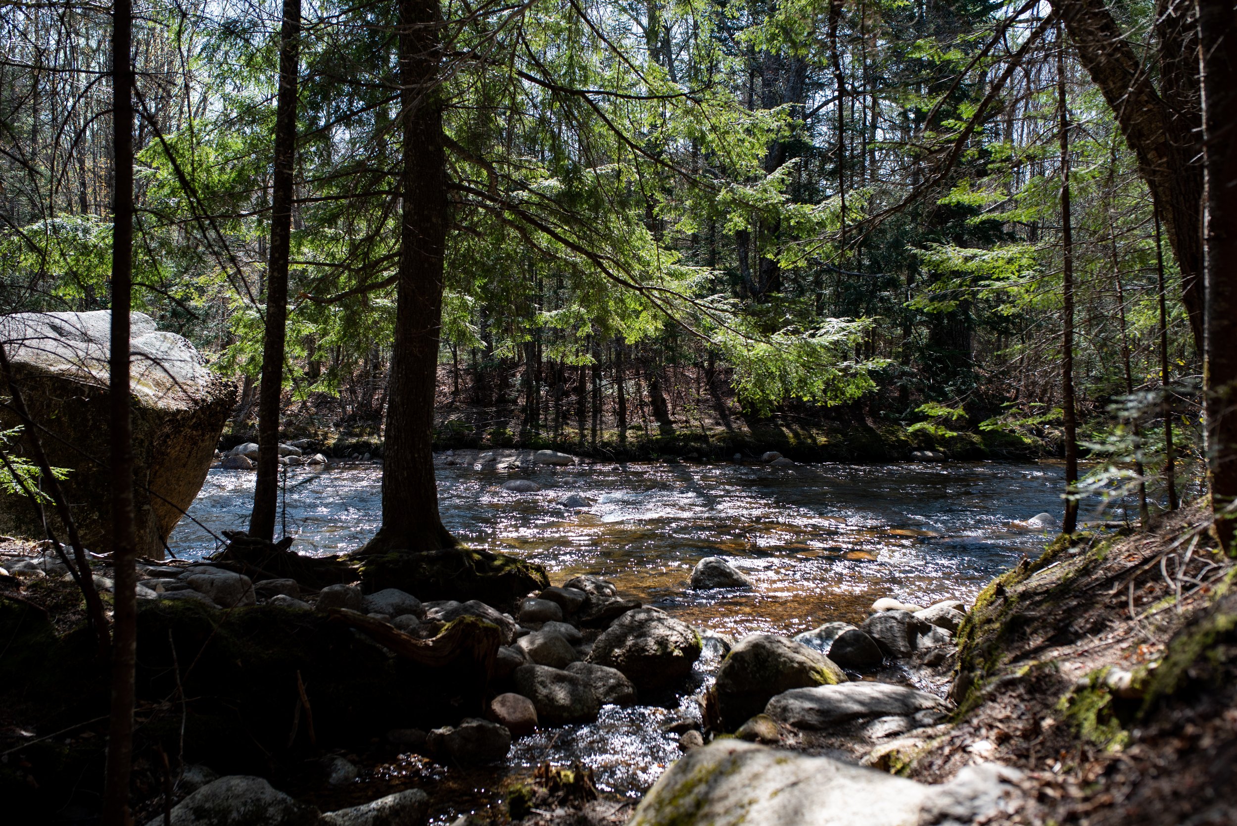
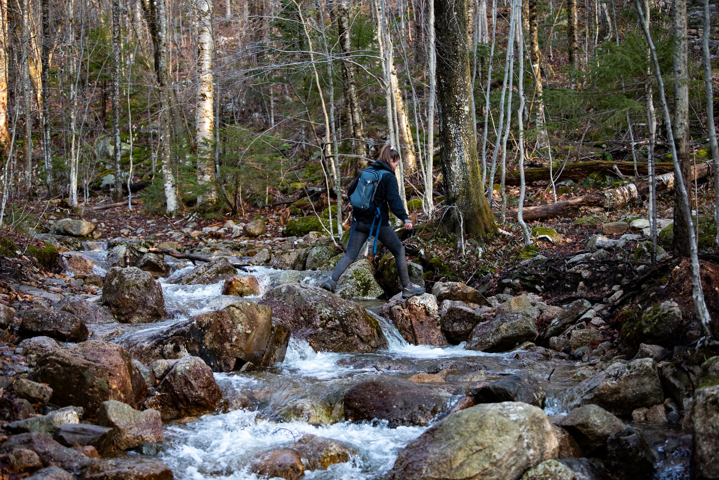
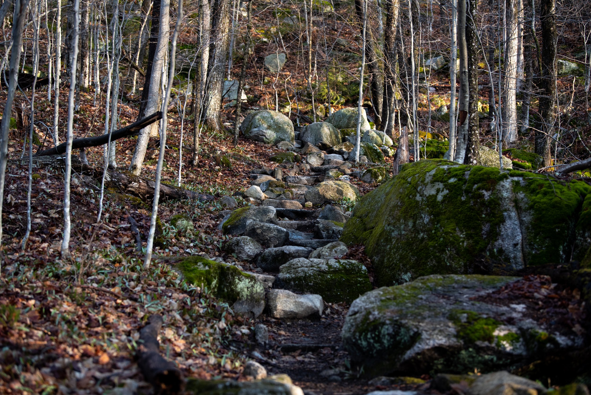
CASCADES FALLS
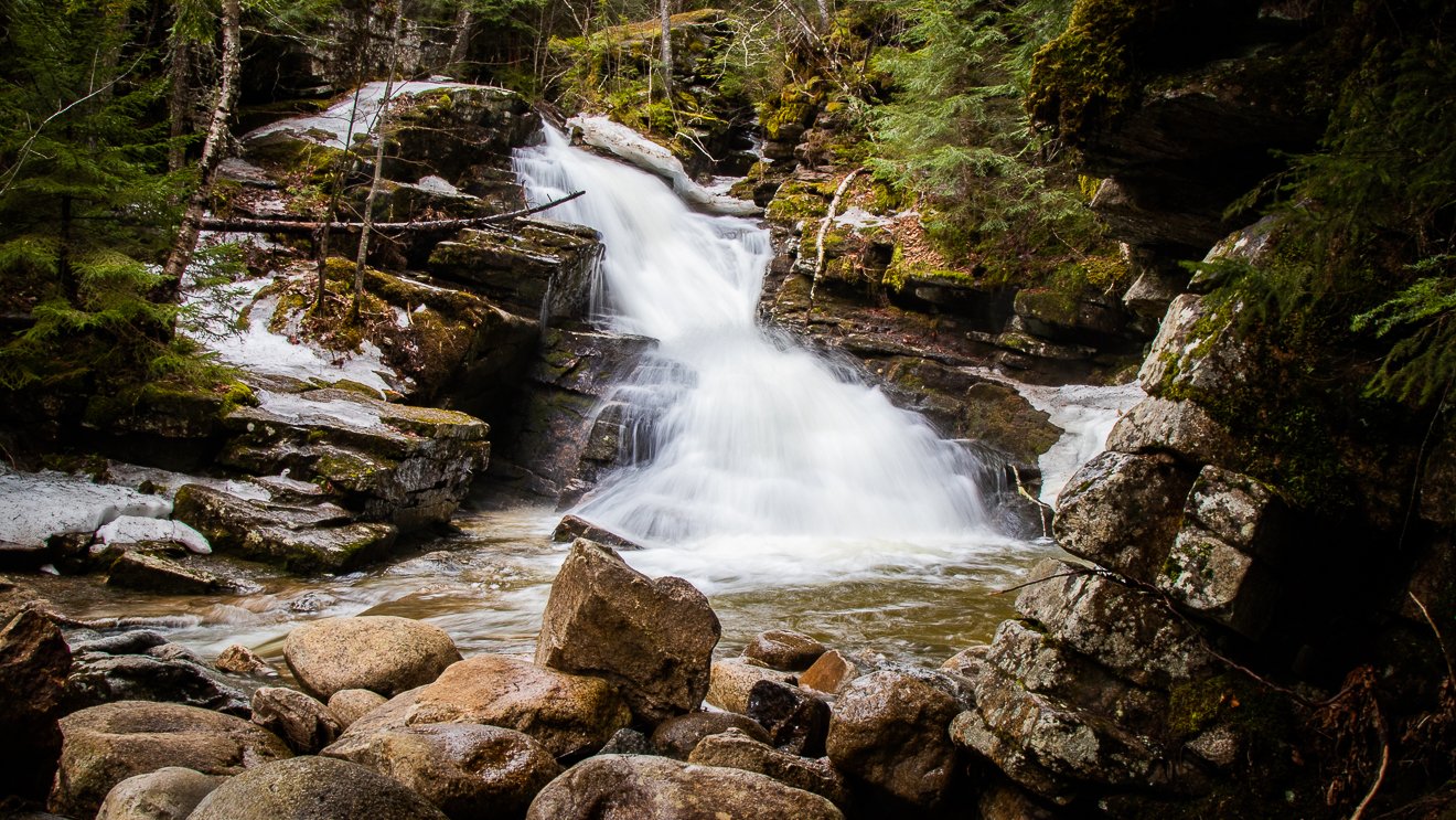
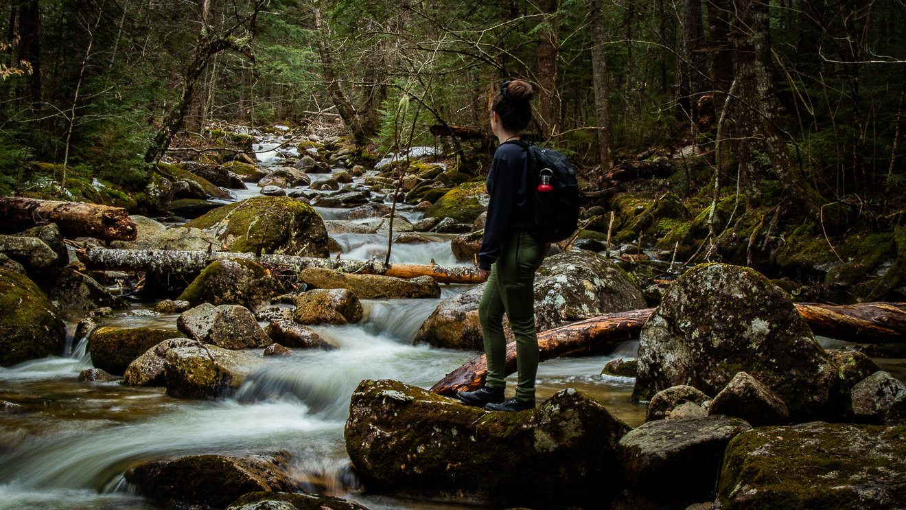
During the springtime, Cascades Falls shines in its full glory. The falls surge with fresh snowmelt water in the spring, with crystalline waters swelling through this exquisitely beautiful series of waterfalls and plunge pools. Cascades Falls hike can be particularly icy, especially during the early spring, so be sure to wear traction devices such as crampons, yak tracks, and hiking poles.
Start your hike at the Snow’s Mountain Parking Lot. Park in the north end of the lot, furthest away from the chairlift. From here you will walk across Cascade Ridge Road to begin the trail. There is a sign marking the trailhead. Next you will walk up a grassy hill following the curves of the road. After entering a wooded section there will be a fork in the trail in front of a large house, you will stay right. The trail continues up the hill and crosses the road before joining an old ski trail on Snow’s mountain.
Continue to follow the trail until it forks again, there will be a Cascade Path sign marking the left path. The trail begins to rise and winds through the forest as you cross the Swazeytown cross country ski trail. From here you will continue uphill for a moment before spending a good distance gently meandering downhill, passing an intersection with the Elephant Rock hiking trail.
1.2 miles into your hike the trail joins with the Lower Snow’s Mountain trail near a small bridge. Take a right and cross the bridge, following the trail for a couple hundred feet until you come to the next bridge. Just before it you will see another Cascade Path sign where the trail branches off to the right.
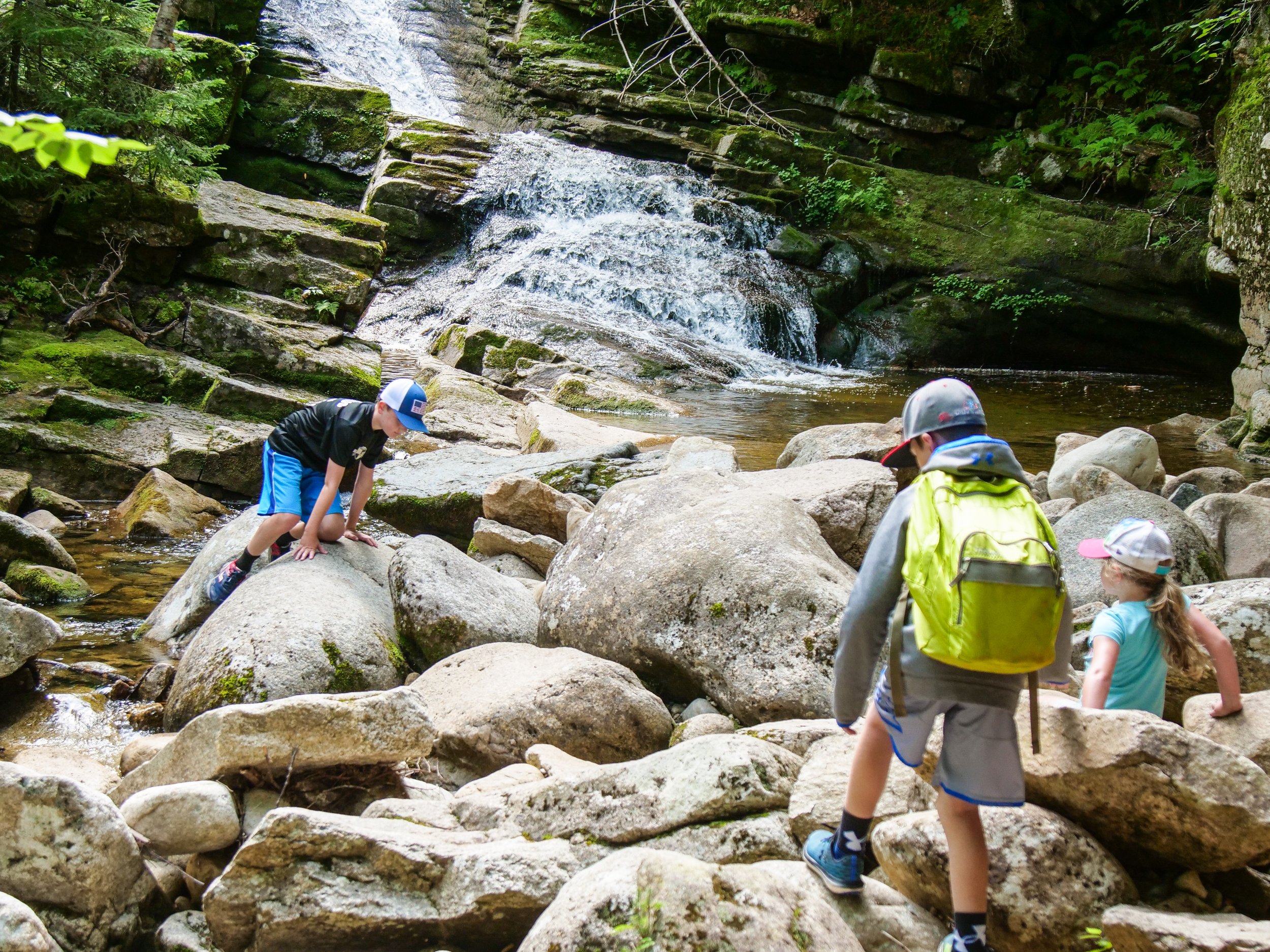
After 0.2 miles you will come to the first in a series of waterfalls and gorges. The trail splits at the first waterfall, you can hike up either side of the brook. Both sides offer unique and fantastic views of the cascades and the pools below. The trails terminate after 0.3 miles, meeting at a large bridge on the Upper Snow’s Mountain trail.
From here you can continue down the other side of the brook and head back the way you came, or you can use the Snow’s Mountain Trail to explore other areas.
ADVANCED HIKES
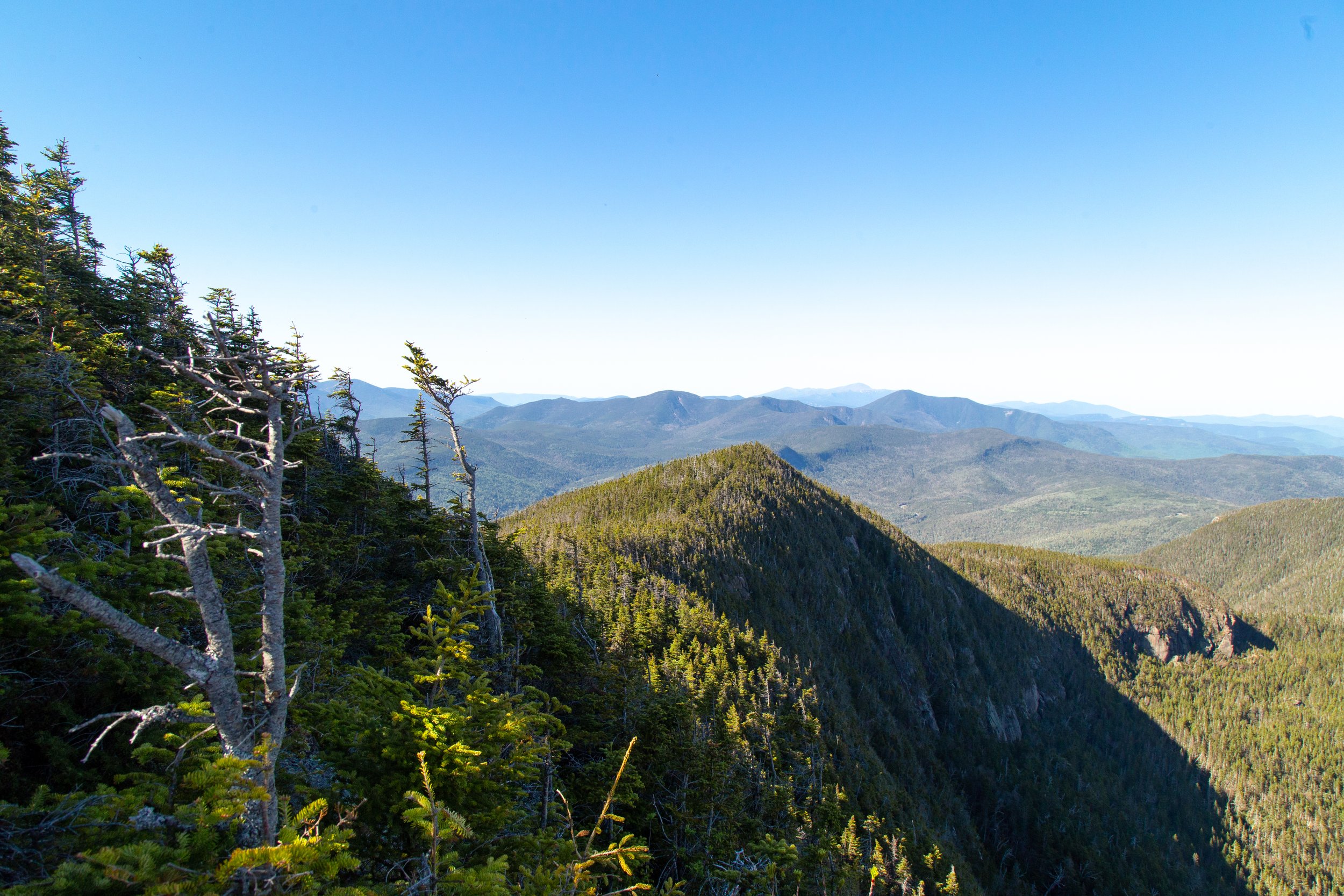
MOUNT TECUMSEH

Mount Tecumseh trail offers stunning views of Waterville Valley and the surrounding mountain peaks, including Mount Osceola, the Tripyramid Mountains, and the Sandwich Mountain range. This advanced hike offers a challenging ascent rewarded with gorgeous viewpoints, brooks, rapids, and cascades.
The trail begins at the north end of the Waterville Valley Ski Area parking lot, and gradually ascends the southern side of Tecumseh Brook for about 15 minutes, then crosses the brook and climbs up the northern foothills with the ski area slopes on the left. Eventually, it descends a small ravine and crosses Tecumseh Brook again. Shortly after that, there's a short spur path on the left that takes you out to the ski slope for a view.
The next mile is straight up and rough and rocky and generally slow-going. The Sosman Trail diverges left not far from the summit. This short trail traverses the ridge past a great lookout that gives excellent views to the east, before continuing on to the cell tower at the summit of the High Country chair lift.
The Mount Tecumseh Trail, as it continues past the Sosman trail and approaches the summit cone, divides in two, with a southern route to the summit diverging left. Continuing straight, and the trail curls around the northern side to the summit. Once on top, the trail descends fairly steeply down the other side toward Tripoli Road, through thick walls of conifers, into a col. It then climbs again to the crest of the northern ridge, turns west along the ridge, and not long after that there's a spur path on the left with very nice views to the west.
From the top you can explore the summit areas of Mount Tecumseh and Waterville Valley ski area before heading back down the way you came. If you’re looking for extra adventure you can also continue on the Mount Tecumseh Trail down the west side of the mountain, ending at Tripoli Road.
MOUNT OSCEOLA
Mount Osceola is a challenging hike with an elevation gain of 2,070 feet. The summit offers sweeping views of the valley and surrounding mountain range, Mount Osceola is one of Waterville’s most popular 4,000-footer mountain peaks. While the traverse up the mountain is certainly challenging, the views make the trek well worth it.
To Climb Mount Osceola you will park at the trailhead off Tripoli Road. If you are hiking on a weekend or holiday expect a crowded parking lot and lots of company on the trail. You do need to obtain a recreation pass to park on Tripoli road, they are available at the trailhead or at the ranger station on the east side of the road.
The trail begins on a rocky and rough section that requires more time than might be expected, especially in wet conditions. It ascends the ridge, crossing a spring 2/3rds of the way up. It then climbs by short rather steep switchbacks to the summit, the site of an old fire tower.
If you would also like to check of East Peak, you will carry on from the summit as the trail descends steeply into the col. At one point, you have the option to "chimney" down a short rock face, or take an easier route around. There are lookouts to the north as you ascend East Peak. Add an extra hour or more for this as it is a rocky and steep climb for about a mile each way. East Peak is a wooded summit marked by a small cairn.