Best Hikes For Kids
Hiking is an extraordinary activity for youngins. Beyond the benefits of physical activity, children who hike also gain social, emotional, and cognitive benefits. Hiking instills a sense of wonder into children's imaginations, improves their problem-solving abilities, and aids the development of forming close and healthy relationships. Hiking is the perfect way to spend quality time with your child - you're undistracted, living in the moment, away from the hustle and bustle of daily life. During a family hike, kids and parents can have in-depth, genuine conversations that help strengthen parent-child bonds. Waterville Valley is filled with kid-friendly hikes along well-maintained trails with unique, fun features.
HIKES FOR AGES 7-12
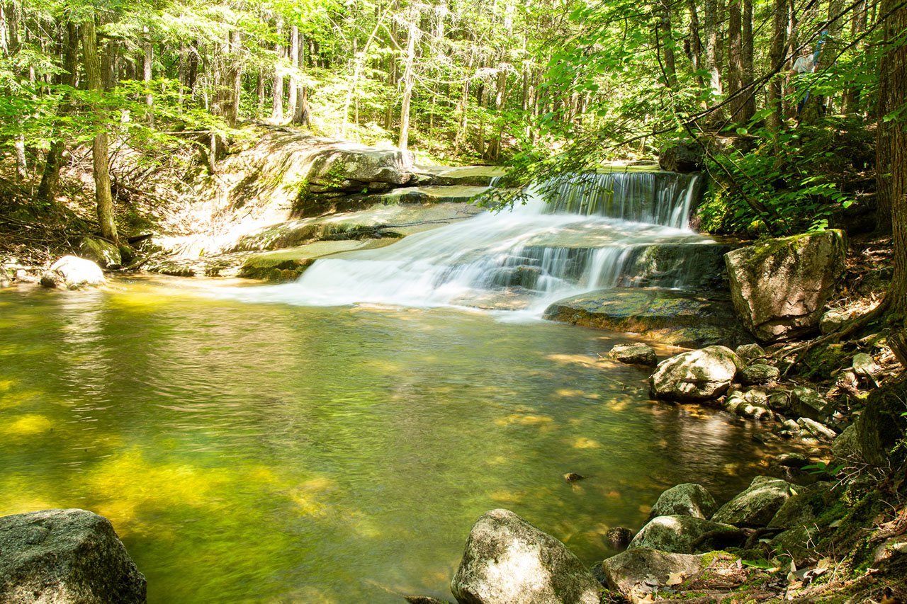
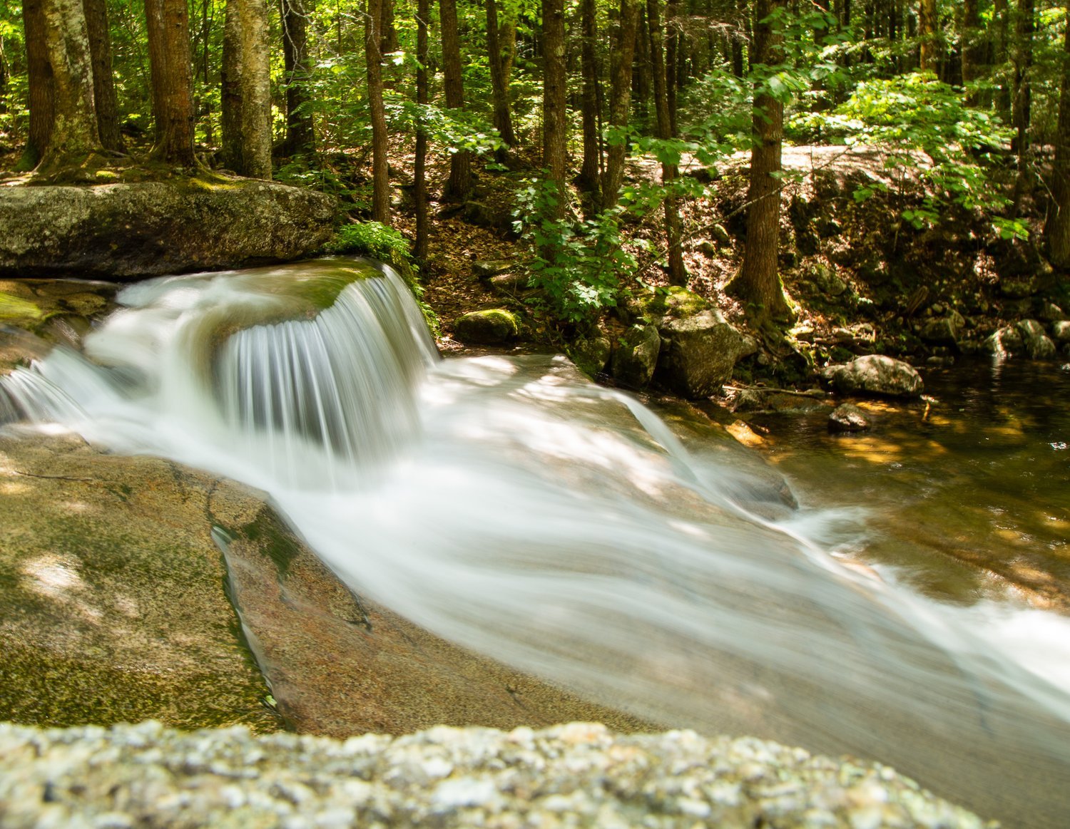
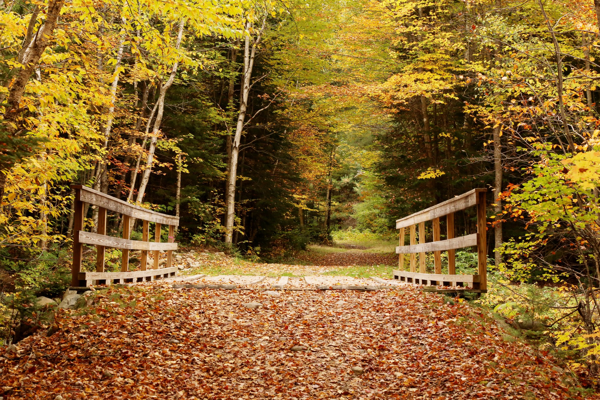
Cascades Path
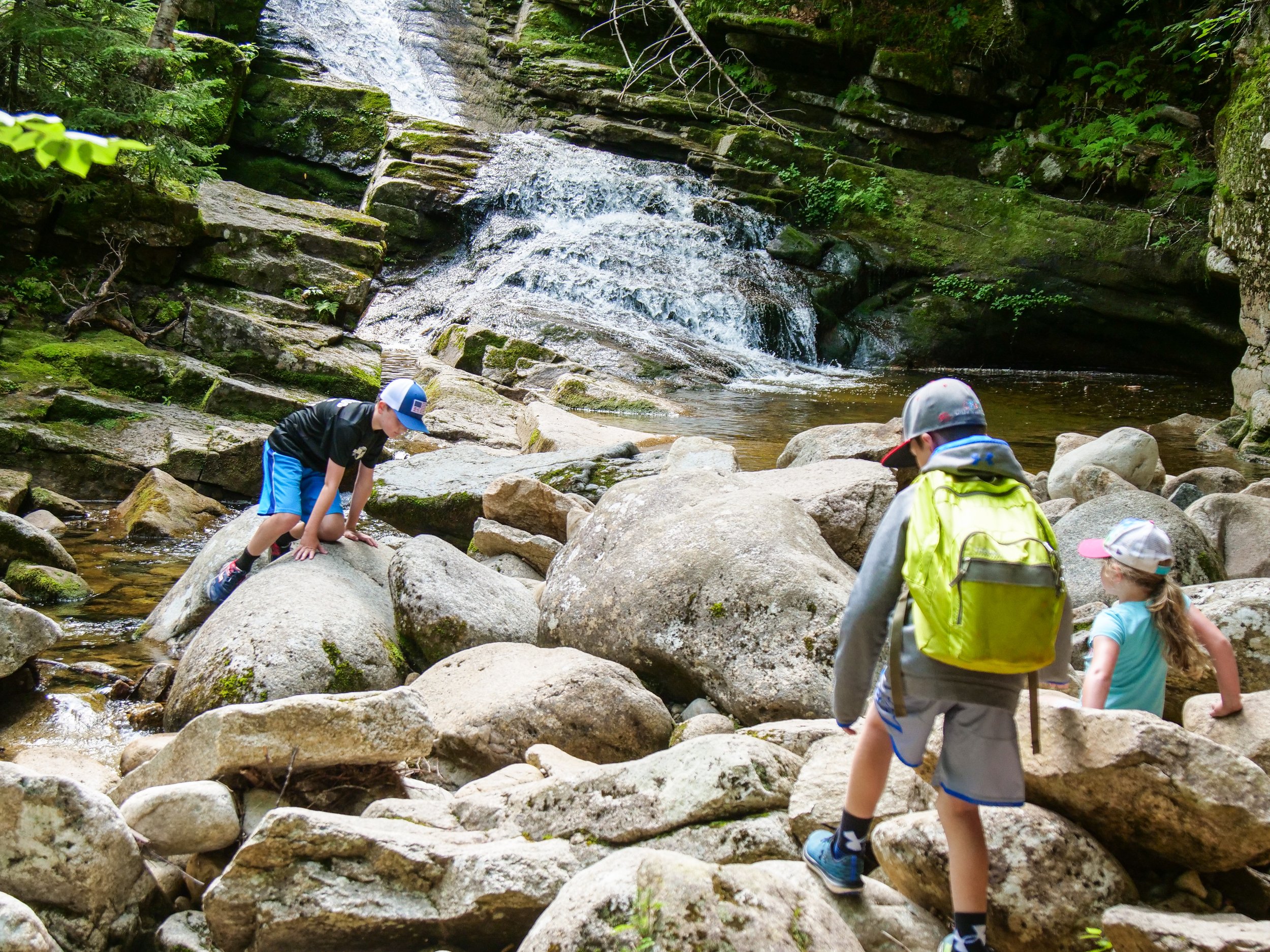
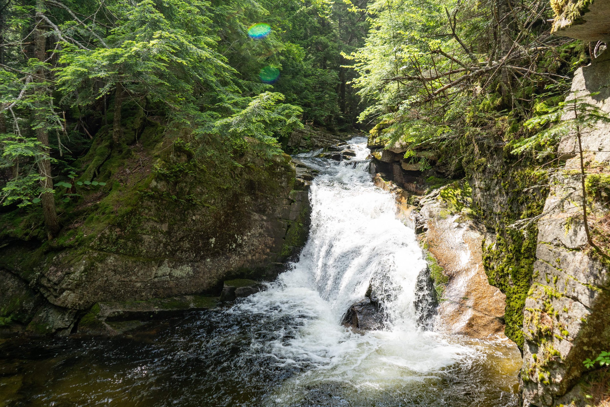
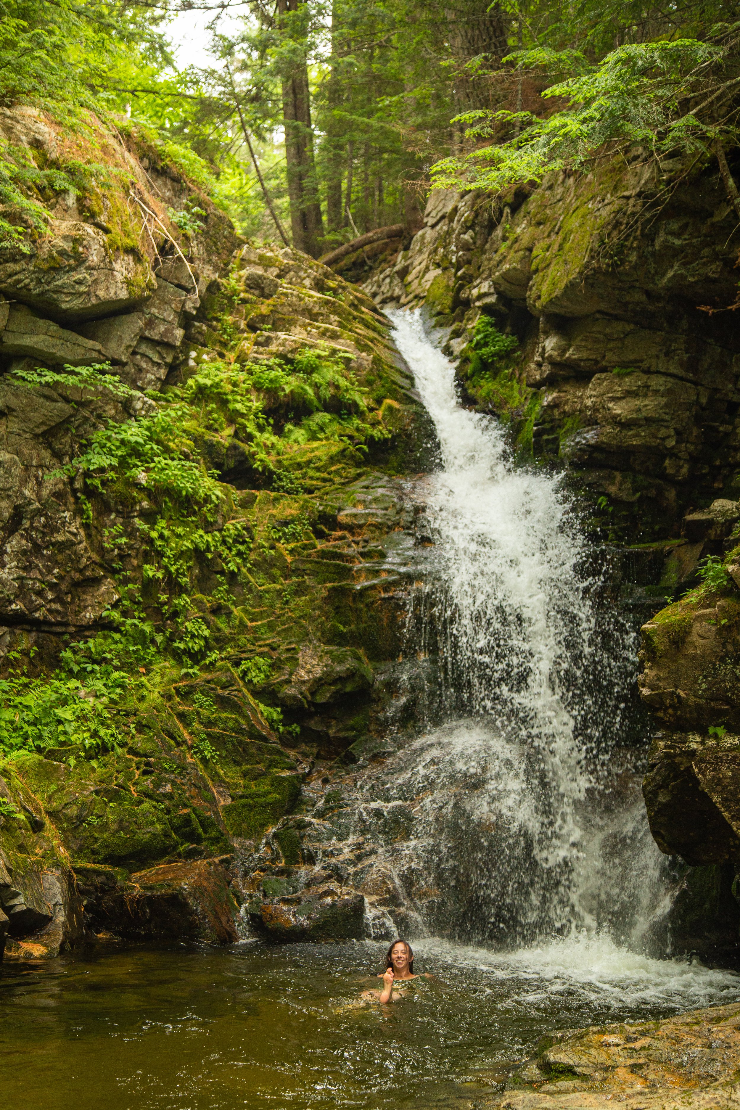
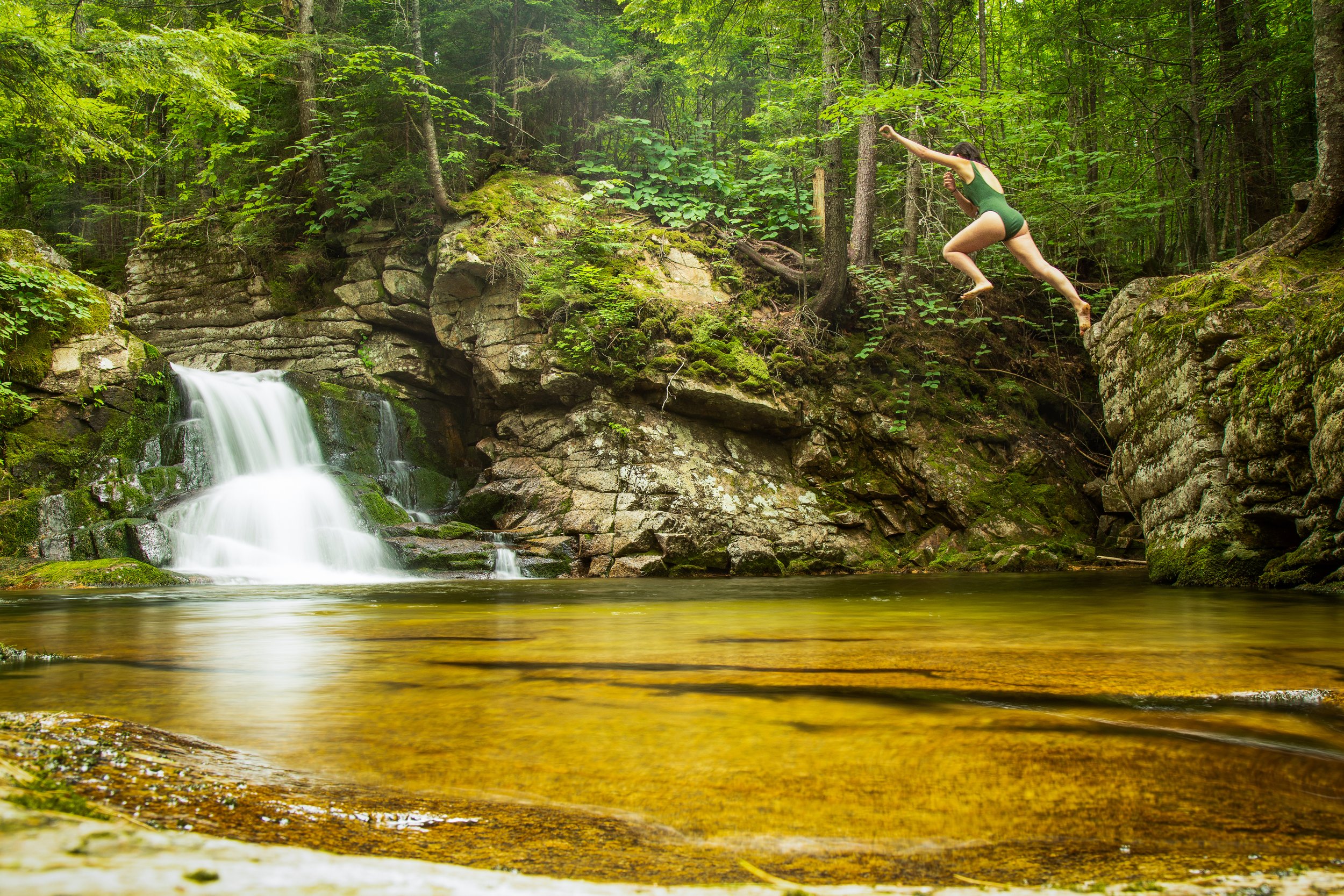
Cascades Path is 3-mile roundtrip trail leading to a stunning series of waterfalls, scenic rapids, and plunge pools. The hike takes about 1.5-2.5 hours to complete, but may take longer depending how long you spend admiring the waterfalls! Kids love swimming in the plunge pools and waterfalls! We recommend packing plenty of water, snacks, plus a towel and bathing suit in warmer months!
-
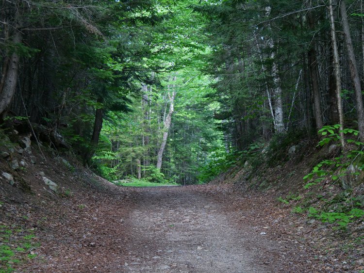
Start your hike at the Snow’s Mountain Parking Lot. Park in the north end of the lot, furthest away from the chairlift. From here you will walk across Cascade Ridge Road to begin the trail. There is a sign marking the trailhead. Next you will walk up a grassy hill following the curves of the road. After entering a wooded section there will be a fork in the trail in front of a large house, you will stay right. The trail continues up the hill and crosses the road before joining an old ski trail on Snow’s mountain.
Continue to follow the trail until it forks again, there will be a Cascade Path sign marking the left path. The trail begins to rise and winds through the forest as you cross the Swazeytown cross country ski trail. From here you will continue uphill for a moment before spending a good distance gently meandering downhill, passing an intersection with the Elephant Rock hiking trail.
1.2 miles into your hike the trail joins with the Lower Snow’s Mountain trail near a small bridge. Take a right and cross the bridge, following the trail for a couple hundred feet until you come to the next bridge. Just before it you will see another Cascade Path sign where the trail branches off to the right.
After 0.2 miles you will come to the first in a series of waterfalls and gorges. The trail splits at the first waterfall, you can hike up either side of the brook. Both sides offer unique and fantastic views of the cascades and the pools below. The trails terminate after 0.3 miles, meeting at a large bridge on the Upper Snow’s Mountain trail.
From here you can continue down the other side of the brook and head back the way you came or you can use the Snow’s Mountain Trail to explore other areas.
If you snap any of your own photos be sure to tag @visitwatervillevalleynh
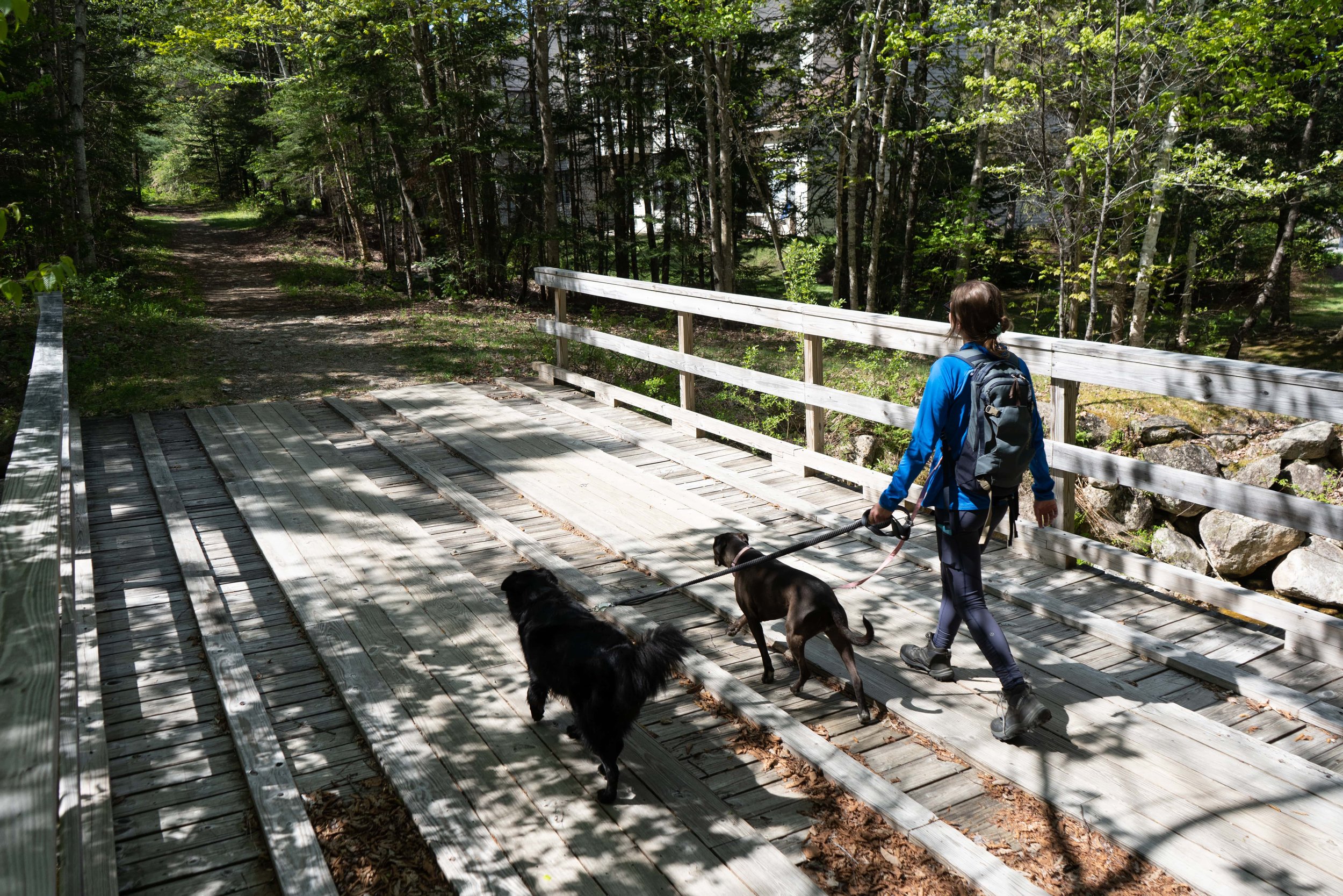
Mad River Path
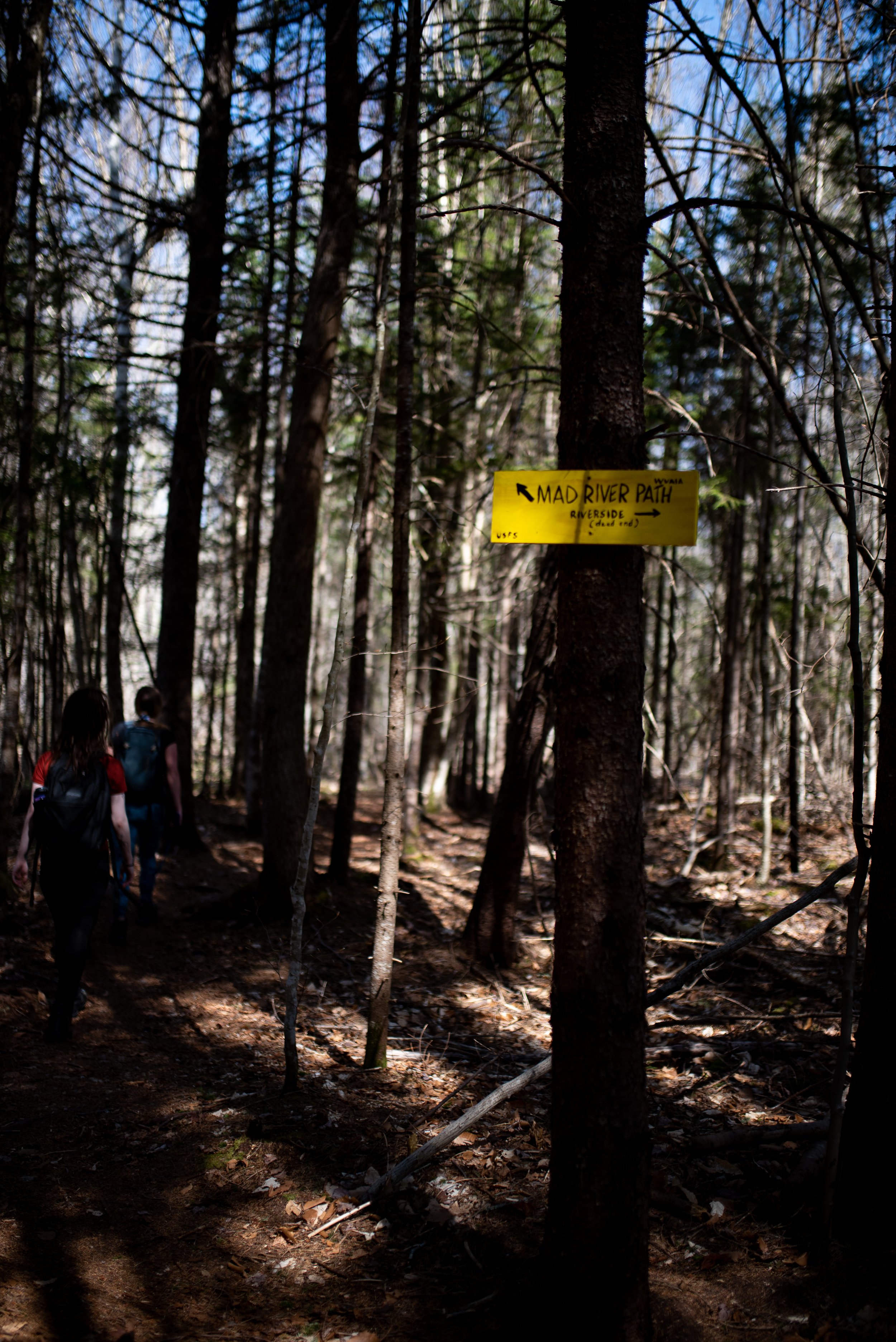
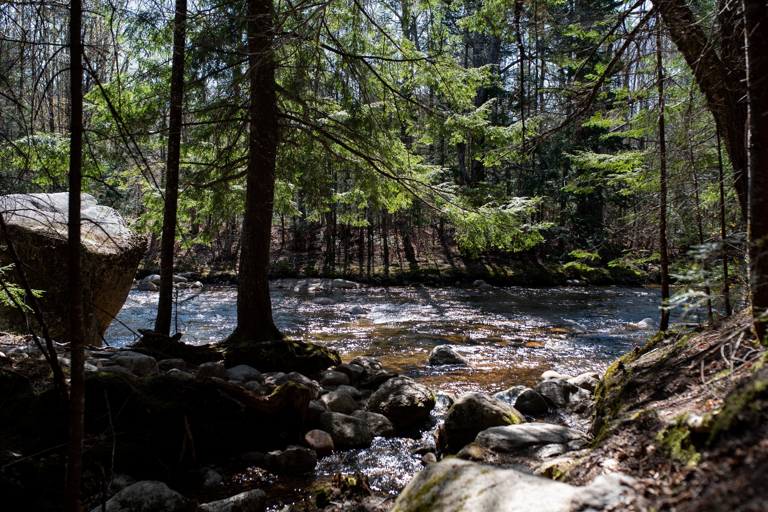
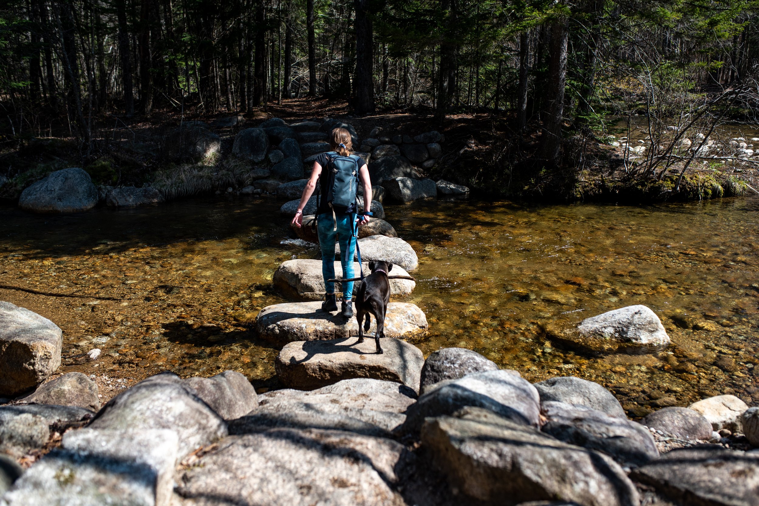
Mad River Path is a quick and easy 1-mile trail that closely follows the famous Mad River. This trail features a footbridge made out of large stepping stones, which kids love to jump across! It takes about half an hour - 1 hour to complete the trail, or about 1-2-hours to go out-and-back. This trail features a steep stairway, so be sure to use caution!
-
The trail begins off the Mad River cross-country ski trail. From Town Square, cross the dam and turn right on the Village X-C Ski Trail, follow the trail through the tunnel, and then turn right on a bridge over Snows Brook. Continue straight over a second bridge, this one over the Mad River.
To the right of where the ski trail rises up the hillside, the Mad River hiking trail heads into the woods. After a small bridge and a series of steep rock steps up to a plateau, the trail walks along the high and steep-sided glacial riverbank. It soon descends steeply on another long series of wooden steps, down to the river’s shore, crosses a rill without a bridge; and then, crosses over a small footbridge, and a larger footbridge at the confluence with the West Branch of the Mad River. The final section easily traces the river and ends at West Branch Road.
If you snap any photos while you’re out hiking, be sure to tag @visitwatervillevalleynh
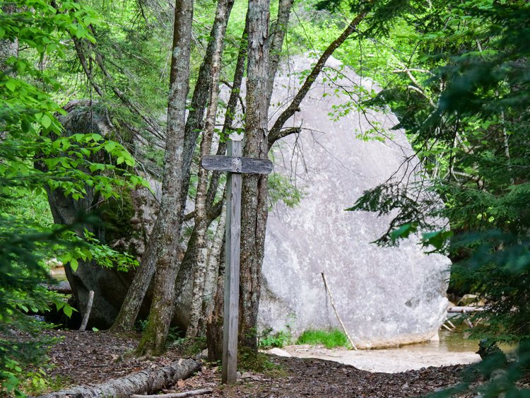
GOODRICH ROCK TRAIL
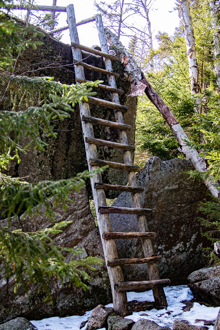
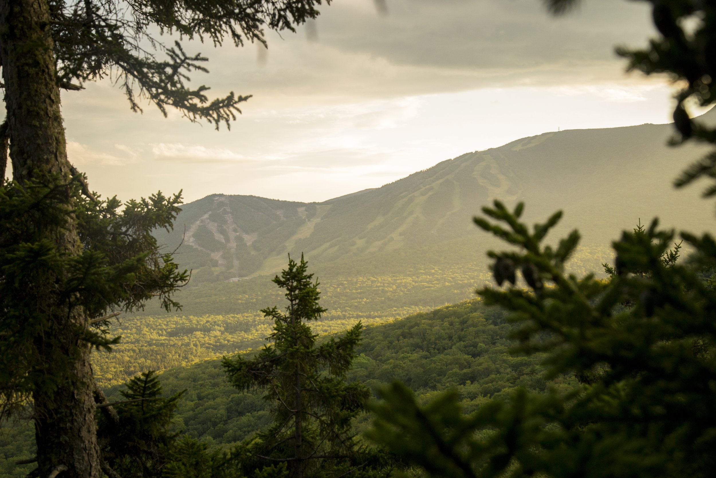
Goodrich Rock Trail is a moderate, 4-mile out & back trail that concludes by climbing a 20-foot ladder to the top of Goodrich Rock - one of the largest glacial erratics in New England. Kids love clambering up & down the ladder and conquering the large glacial erratic. From the top of Goodrich Rock, you can bask in incredible views of Sandwich Mountain Trails and the ski trails on Mount Tecumseh and Green Peak. This trail takes about 2-3 hours to complete.
-
The hike to Goodrich Rock begins in the Livermore Road parking lot. Walk past the information stand and fee area and turn left down the gravel path. After a short walk you will reach a small meadow with an intersection. You will then continue straight through the meadow, over a bridge, and back into the woods. Almost immediately after crossing the bridge you will take a left onto the Greeley Ponds Trail.
The straight path, lined with pine trees, gently slopes uphill until joining with the banks of the mad river. Shortly after this, you will see the Goodrich Rock Trail on your left. The narrow trail climbs somewhat steeply up to a set of stone and wooden steps. From there it levels off, crosses a small brook, and leads you to the Davis Boulders. The trail winds through broken-open chunks of granite and under a cave-like passageway.
After passing through the boulder field, you will re-enter a conifer forest. When Goodrich Rock comes into view, the trail will circle around the backside of the rock leading you to a wooden ladder. Climb up the ladder to the top of Goodrich Rock and enjoy the views of Waterville Valley Ski Resort, Tecumseh, the Sandwich Range and the valley below. As this is a frequently traveled destination, hikers are asked to be careful of the outcrop communities of lichen and balsam trees growing in this precipitous habitat.
If you snap any of your own photos be sure to tag @visitwatervillevalleynh
HIKES FOR AGES 4-6
Smarts Brook trail
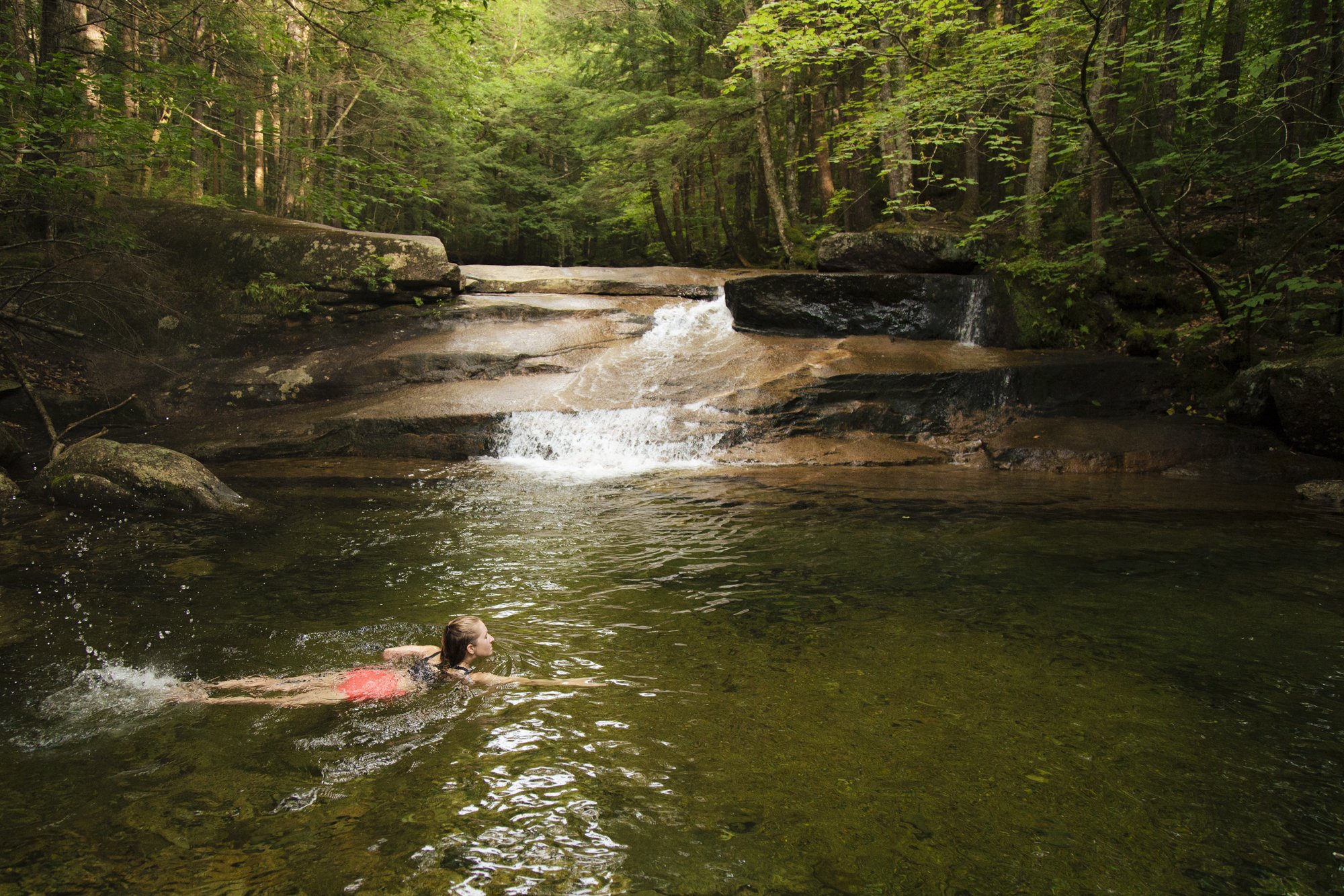
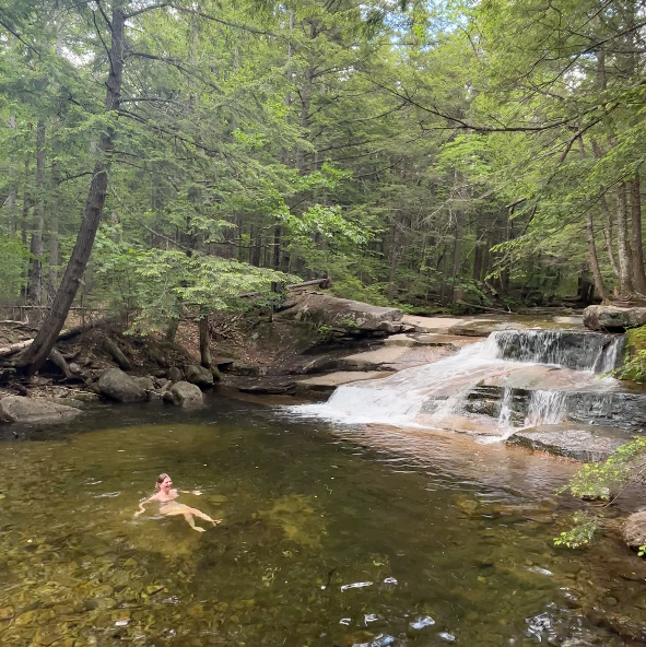
Smart’s Brook Trail is an easy 2.2-mile out & back hike that leads to a popular swimming hole with crystal-clear waters. A popular swimming spot among local families, kids spend hours splashing around in this crystalline swimming hole! This trail takes about 40-60 minutes to complete and has an elevation gain of about 230-feet.
-
The hike to Goodrich Rock begins in the Livermore Road parking lot. Walk past the information stand and fee area and turn left down the gravel path. After a short walk you will reach a small meadow with an intersection. You will then continue straight through the meadow, over a bridge, and back into the woods. Almost immediately after crossing the bridge you will take a left onto the Greeley Ponds Trail.
The straight path, lined with pine trees, gently slopes uphill until joining with the banks of the mad river. Shortly after this, you will see the Goodrich Rock Trail on your left. The narrow trail climbs somewhat steeply up to a set of stone and wooden steps. From there it levels off, crosses a small brook, and leads you to the Davis Boulders. The trail winds through broken-open chunks of granite and under a cave-like passageway.
After passing through the boulder field, you will re-enter a conifer forest. When Goodrich Rock comes into view, the trail will circle around the backside of the rock leading you to a wooden ladder. Climb up the ladder to the top of Goodrich Rock and enjoy the views of Waterville Valley Ski Resort, Tecumseh, the Sandwich Range and the valley below. As this is a frequently traveled destination, hikers are asked to be careful of the outcrop communities of lichen and balsam trees growing in this precipitous habitat.
If you snap any of your own photos be sure to tag @visitwatervillevalleynh
Big Pines Path
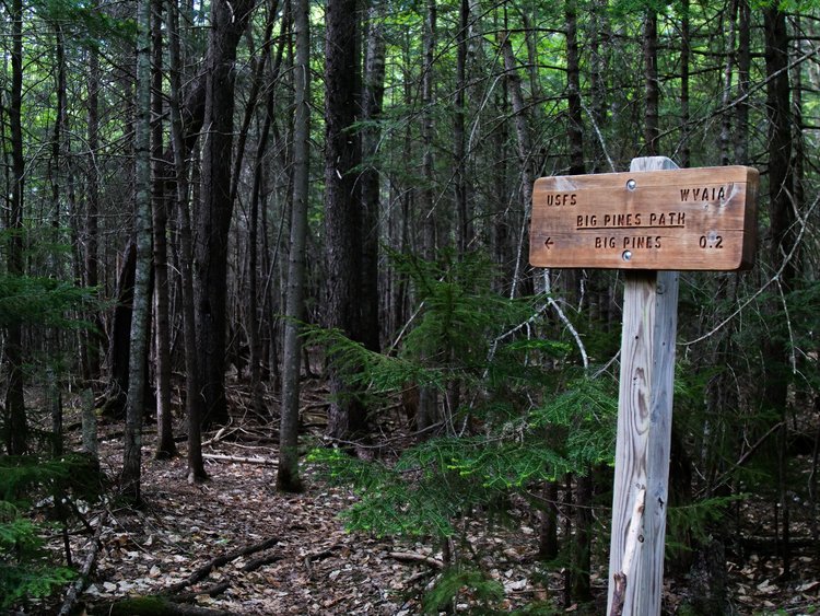
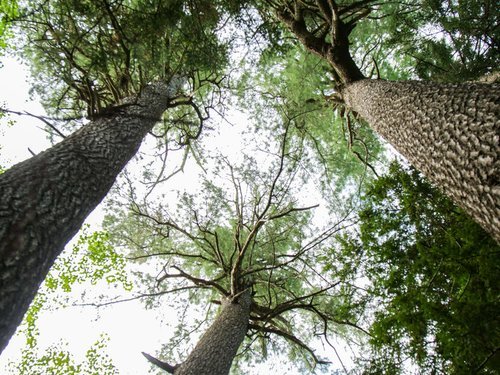
Big Pines Path is a quick and easy trail that leads to the banks of the Mad River, where you can discover enormous White Pine trees. Kids enjoy the splendor of the gigantic trees and play in the waters of the Mad River. This trail takes about 40-60 minutes to complete and has an elevation gain of 30-feet.
-
Start your hike at the Livermore parking lot. You will walk in past the information stand and fee area and almost immediately take a left onto Livermore Road. Follow Livermore Road as it gently travels through the woods. When you get to a small meadow with an intersection you will continue straight, passing over a couple of small bridges.
After about 0.6 miles you will pass Boulder Path on your right. Take a quick step onto this trail to see a giant boulder left behind by the receding glaciers. After passing Boulder Path and continuing down Livermore Road you will immediately climb a small hill, then the trail sign for Big Pines Path will come into view on the left.
Pass the sign and you will be on a small, narrow trail meandering through a pine forest. As you approach the river you will descend two sharp hills. At the bottom of the second drop you will find the large white pine trees for which the trail was named. From there you can make your way over to the river and enjoy the running water.
If you snap any of your own photos be sure to tag @visitwatervillevalleynh
Mike's Dream
Mike’s Dream is a very easy, 0.3-mile double-track trail that follows the Mad River. Along this trail, kids can enjoy the large rocky beach, where they can wade in the water, skip rocks, or build balancing rock statues. This trail takes about 15-30 minutes to complete.
-
This trail begins at West Branch Road. Take the trail on the east side of the river. You’ll quickly pass a large field to the left. Continue along the straight path. Eventually, you’ll come across a fork in the trail.
Take a right at the fork to explore the rocky beach. If you keep right on the beach, you’ll come across a narrow, wooded trail that leads back to West Branch Road.
Take a left to continue onto Osceola Road. Once you reach the condominiums at the top of the hill, you can go back the way you came or take a short walk into Town Square.
HIKES FOR AGES 1-3
Village Trail
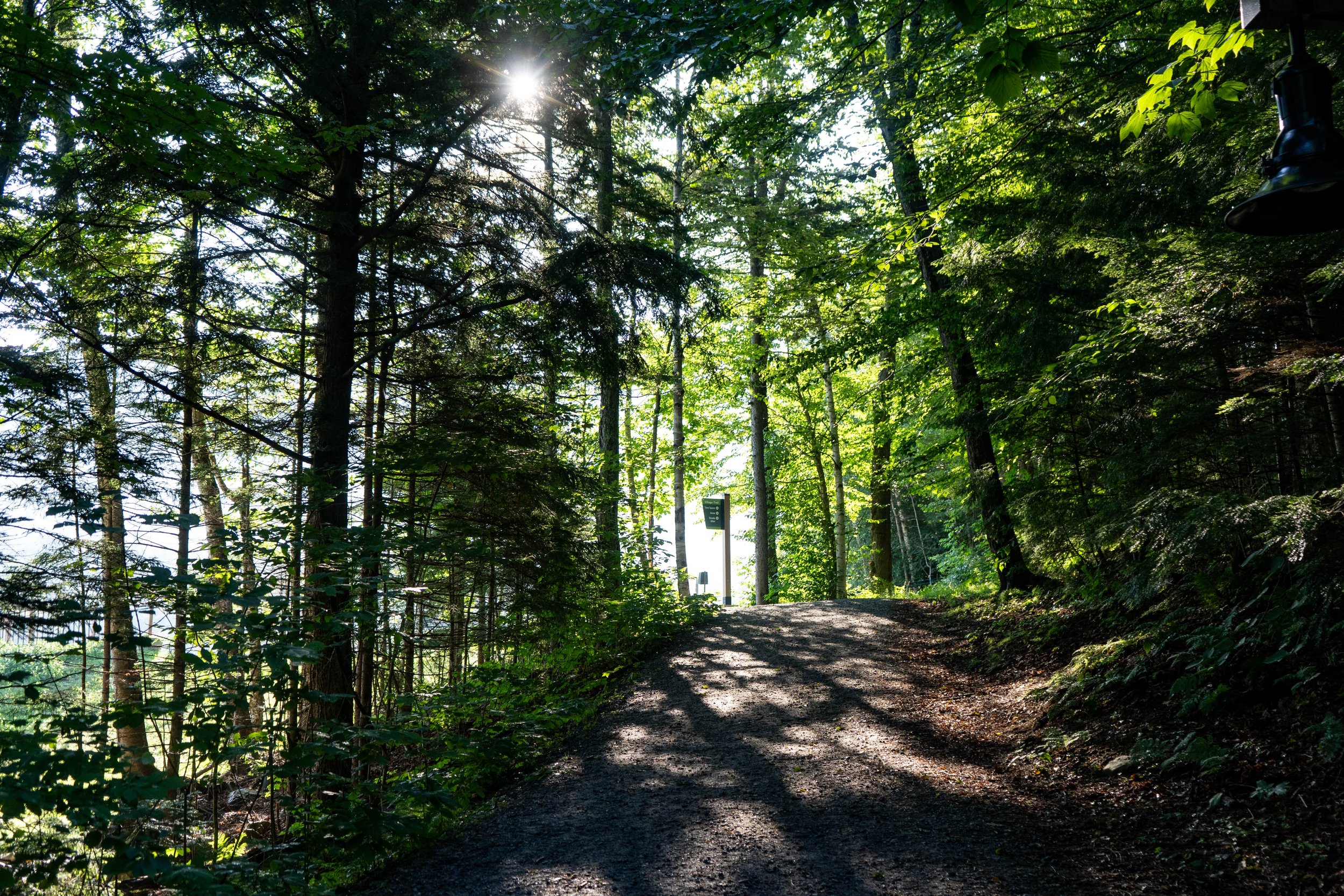
Village Trail an easy, convenient 1-mile trail that weaves through town and follows Snow’s Brook. This trail is stroller-friendly, and takes about 15-30 minutes to complete.
-
Begin at Town Square, cross the bridge and take a right, following the signs for Village Trail. Continue along the path for about 0.3 miles. From here, turn right and cross the bridge over Snow’s Brook, and then another bridge over the Mad River. Follow the short loop and continue back the way you came.
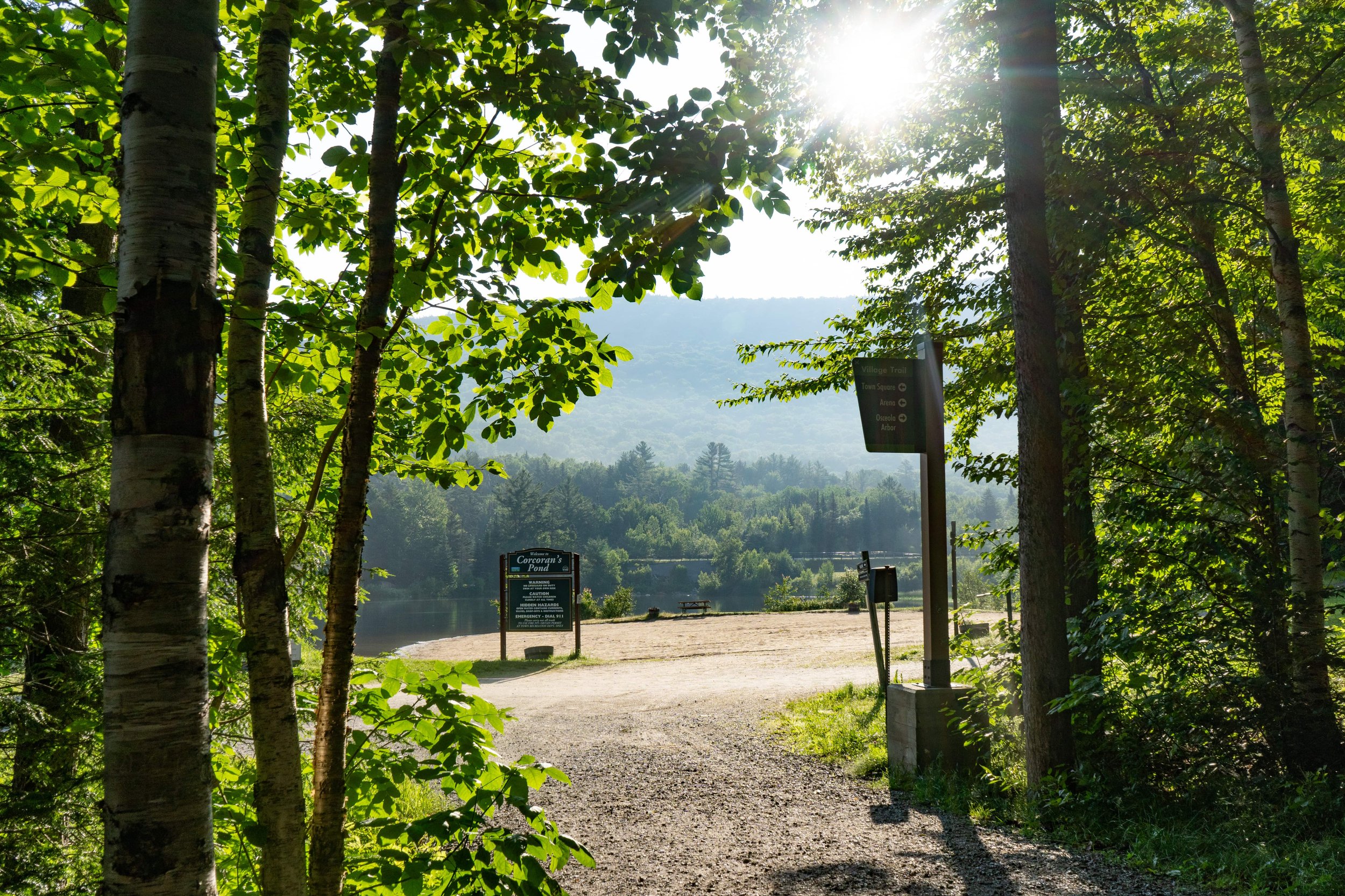
Pond Loop
The Pond Loop is an easy 2-mile trail that is relatively flat and follows along sections of Corcoran Pond. Enjoy views of Corcoran Pond and wild blueberries along the trail!
-
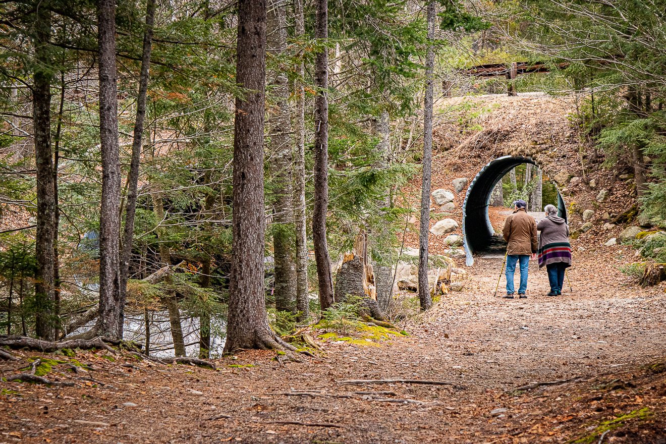
Begin in Town Square and head towards the Town Square Disc Golf Field. Keep right towards the pond, following signs for the Pond Loop. Continue along the trail, passing by Corcoran Pond and continuing underneath the tunnel. At the first trail junction, keep right. When the trail forks near the large house, keep to the right of the fork and then follow the trail leading to the right. Continue along the trail, crossing over a bridge, then a X-C trail junction, and then a large expansive field. After passing the field, you’ll come across a 4-way trail junction. Turn right at this junction and continue downhill. You’ll pass by the White Mountain Athletic Club and follow underneath another tunnel. After passing through the tunnel, you’ll pop out onto Packard’s Field. Cross Packard’s Field by following the north treeline, go down the hill, and cross the bridge back onto the trail. Shortly after rejoining the trail, you’ll be back in Town Square.